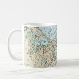
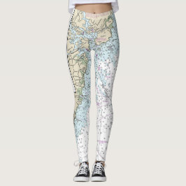
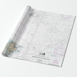
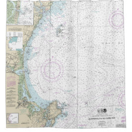
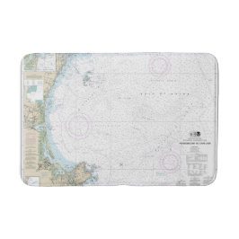
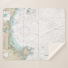
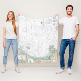
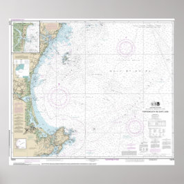
Maine Nautical Charts and Maps
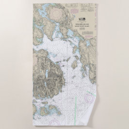
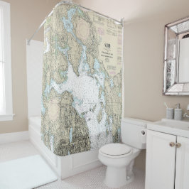
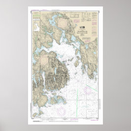
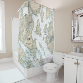
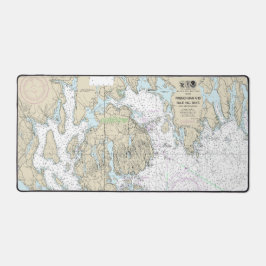
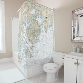
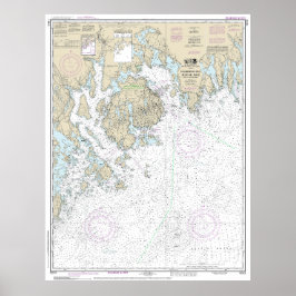
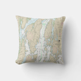
Maine nautical charts and maps collection contains mostly NOAA nautical charts. The original NOAA paper nautical charts cover the Maine coast. However, these chats are being phased out by NOAA. Each nautical chart in this collection has been digitally altered and enhanced to achieve the best possible presentation for the store’s products. In some cases, the chart’s modifications include cropping the image, relocating the title, or removing the borders that contain navigation notes. These Maine maps and charts are not suitable for navigation. However, they are well-suited for a number of nautical decor purposes including river house decor, beach house decor, and coastal living decor. The products in the collection make ideal house-warming gifts. Many of these products are ideal for living area decor, bathroom decor, and business decor. These designs are customizable. You can also select other products not shown with this design and make your own creation.
33 resultaten
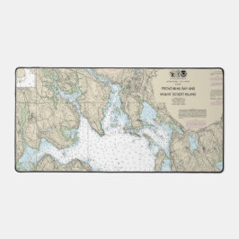
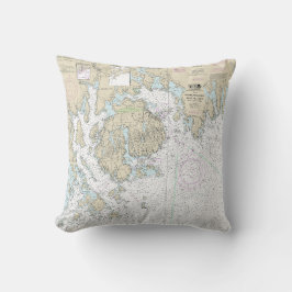
Franchman Bay en Mount Desert Island Chart Poster
Prijs€ 148,00

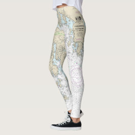
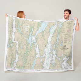
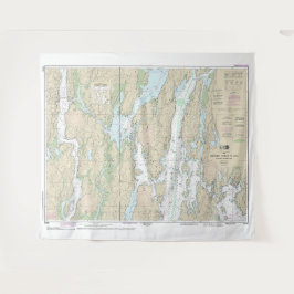
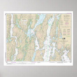
Blue Hill Bay nautische kaart 13316 Leggings
Prijs€ 86,30
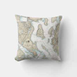
Blue Hill Bay nautische kaart 13316 Kussen
Prijs€ 46,60
Boothbay Harbour to Bath Nautical Chart 13296 Poster
Prijs€ 132,00
Andere leuke collecties van NauticalCharts
Recent bekeken items