USA States – Charts, Maps & Study Tools
A curated collection of USA state charts, maps, study tools, and educational designs created for students, teachers, travelers, and anyone who loves American geography.
Includes 50 states abbreviations charts, map outlines, color variants, study posters, spiral notebooks, stickers, and classroom-ready visuals.
Perfect for learning, homeschooling, classroom décor, study notes, or travel planning.
38 resultaten

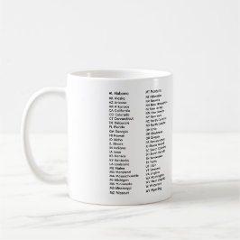
50 staten lijst alfabetische mok
Prijs€ 17,40
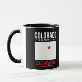
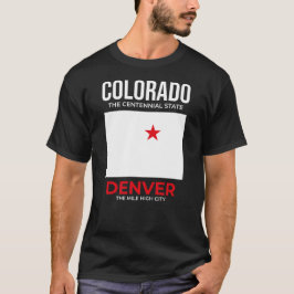
Colorado, Denver – The Mile High City, VS Mok
Prijs€ 18,70


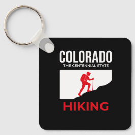
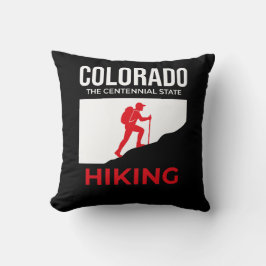

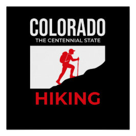
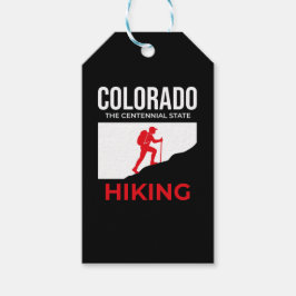
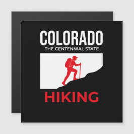
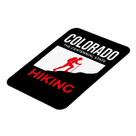
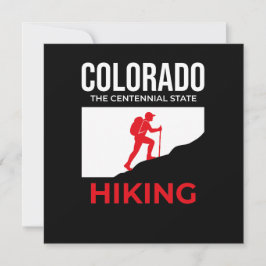
Colorado Wandelen – The Centennial State USA
Prijs€ 3,89

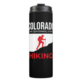

Colorado – Spirit of the Rockies USA Reisbeker
Prijs€ 20,15

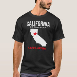
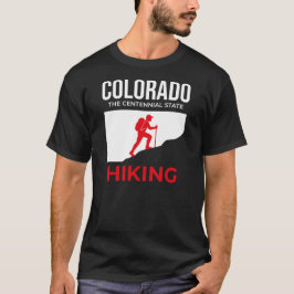
Colorado Wandelen – De Centennial Geest T-shirt
Prijs€ 38,35

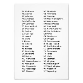
Lijst van 50 staten reisbeker
Prijs€ 20,15
50 staten lijst mok
Prijs€ 16,85
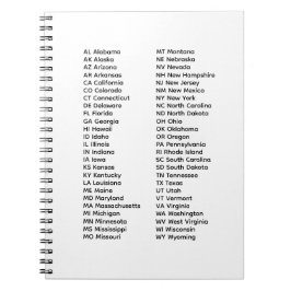
50 staten lijst spiraal foto notitieboek
Prijs€ 14,50
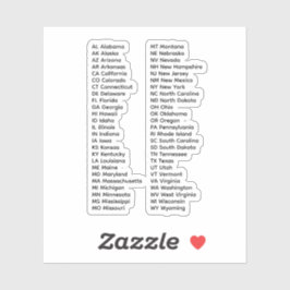
Andere leuke collecties van ChrisVision