Over Fotografie
Aangeboden door
Over dit ontwerp
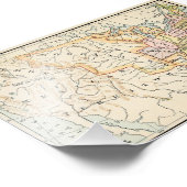
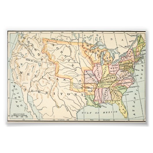
United States 1830 Historical Map Illustration Foto Afdruk
This historical United States 1830 map illustration showcases early American borders, territories, and states in soft vintage tones. Detailed rivers, latitude lines, and classic typography reflect authentic 19th-century cartography. From the Mississippi River to unorganized western territories, this artwork captures a pivotal moment in American history. Ideal for history enthusiasts, educators, and lovers of antique maps and early Americana aesthetics.
Design ontworpen door
DesignVerse | Unique Gifts & Custom Art
Itay, Al Buhayrah, Egypte
Klant beoordelingen
Er zijn nog geen reviews voor dit product.Heb je dit product gekocht?
Tags
Andere Info
Product ID: 256844658640540749
Ontworpen op: 5-1-2026 8:14
Rating: G
Recent bekeken items